New Zealand Braces for Severe Week-Long Winter Storm and Heavy Snowfall
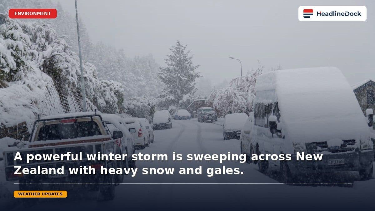
New Zealand is preparing for a severe, multi-day winter storm featuring heavy snow, torrential rain, and gale-force winds. The complex low-pressure system is expected to hit the South Island first before impacting wider regions, prompting urgent warnings for residents to prepare for hazardous conditions.
KEY TAKEAWAYS
1 MIN READ- A powerful, slow-moving low-pressure system is bringing severe weather conditions across New Zealand.
- Heavy snow warnings are in effect for Otago and northern Southland, with significant accumulations expected.
- Regions including Canterbury and Marlborough face risks from torrential rain and potential flooding.
- Severe southeasterly gale-force winds are forecast to impact coastal areas, particularly the West Coast and Wellington.
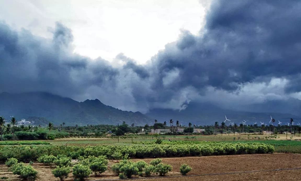
New Zealand is bracing for a prolonged and severe winter storm this week, with meteorologists issuing urgent warnings regarding heavy snow, torrential rain, and damaging gale-force winds. Following a brief period of intense frost that saw temperatures plummet to below -5C in parts of the North Island, the nation is set to experience a complex low-pressure system moving across the country.
Weather authorities report that a significant weather front is embedded within this slow-moving system, which is expected to affect various regions over several days. The incoming conditions are anticipated to be particularly hazardous, with some alpine areas potentially seeing more than a metre of snow. While the initial frosty morning provided a temporary respite of clear, sunny skies for some eastern regions, the shift toward an unsettled pattern is already underway as the low-pressure system shifts toward the South Island.
What to Expect from the Severe Weather Pattern
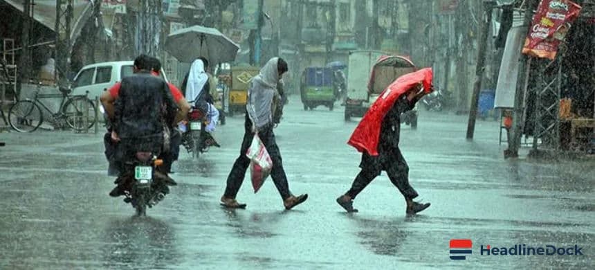
The impact of this winter storm is expected to unfold in stages, starting with a cold, moisture-laden southerly flow hitting the South Island. Heavy snow warnings have been prioritized for Otago and northern Southland, with significant accumulations forecasted at lower elevations. In addition to the snow, heavy rain is expected across parts of Canterbury and eastern Marlborough, which may complicate travel on alpine roads and pose challenges for livestock management.
Strong southeasterly gales are projected to impact the West Coast, specifically in Westland and Grey. As the system slowly tracks across the country, weather experts warn that the instability will persist into Wednesday. Residents in Wellington and the Marlborough Sounds should also prepare for the possibility of severe gales as the cold, moist air continues to funnel over the region. Emergency management officials are advising the public to stay updated with the latest alerts, as the severity of the winter storm could lead to difficult conditions for travel and infrastructure.