Canada Braces for Major Weather Pattern Reversal Throughout July

Canada is entering a significant weather pattern reversal this July. While western regions prepare for warmer, drier conditions, eastern areas are shifting from intense heat toward seasonal averages, following a volatile start to the peak summer season across the nation.
KEY TAKEAWAYS
1 MIN READ- Canada is experiencing a major mid-July weather pattern reversal across the country.
- Western regions are shifting from cooler, wet conditions toward warmer and drier weather.
- Eastern Canada is moving from extreme heat toward more seasonal, comfortable summer temperatures.
- Vancouver expects dry, sunny conditions with temperatures reaching up to 25°C by mid-July.
As the heart of summer arrives, the weather network across Canada is preparing for a significant atmospheric shift. While early July began with typical seasonal warmth, meteorologists are forecasting a major pattern reversal that will soon alter conditions from coast to coast. This transition marks a distinct change in how the country experiences the peak of the summer season.
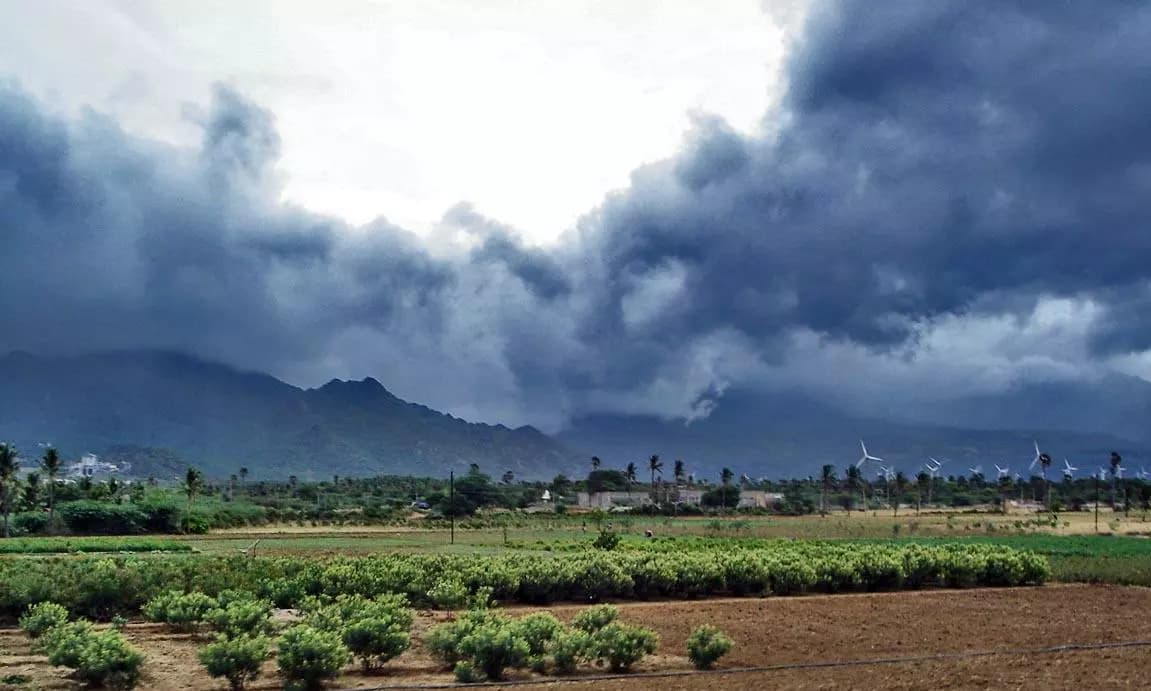
Currently, parts of the country are experiencing starkly different climates. In the west, particularly in British Columbia, the region started the month under an unsettled pattern, bringing cooler temperatures and beneficial precipitation. This moisture has been particularly welcome in fire-prone areas across the province, as well as in Alberta and the Northwest Territories.
Shifting Patterns Across the Country
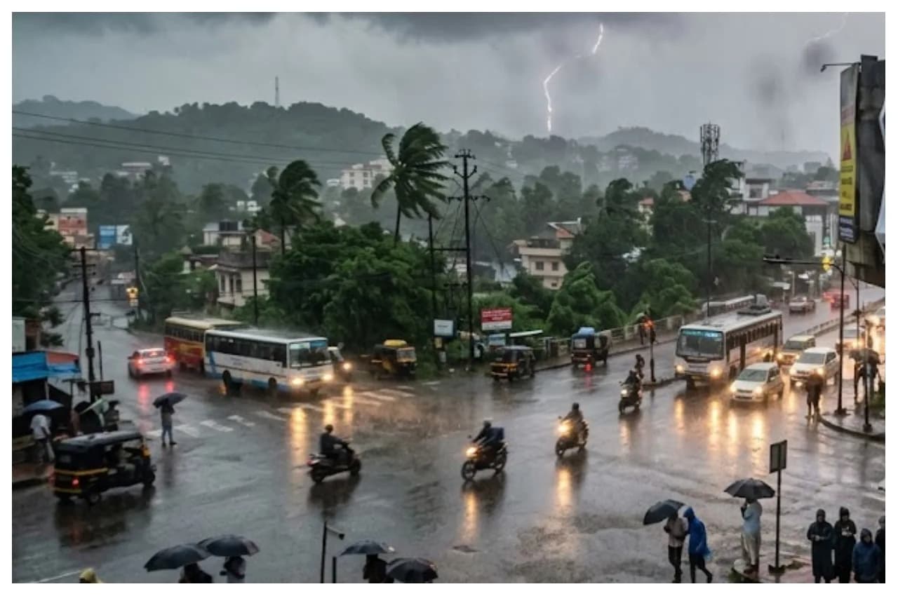
Conversely, the eastern half of the nation has been grappling with intense, unseasonably hot, and humid conditions. This heat has been driven by a substantial heat ridge influencing regions as far north as southern Ontario, with feels-like temperatures climbing into the 40s during recent holiday celebrations. This weather network data highlights the dramatic contrast currently defining the Canadian landscape.
Moving toward mid-July, forecasters expect the heat-producing ridge to migrate westward. This shift is set to bring warmer, drier weather to the Prairies, while Ontario, Quebec, and Atlantic Canada will likely see a return to more typical, comfortable summer conditions. While "normal" for this time of year still implies warmth, it represents a stabilization following the early-month extremes.
In Vancouver, residents can look forward to a warm and stable forecast. Following initial showers, an upper-level ridge is expected to strengthen, leading to warmer-than-normal conditions. Daytime highs are projected to climb from the low 20s to between 24°C and 25°C by mid-month. Importantly, local health authorities report no water quality advisories for regional beaches, making them suitable for public use as the warm weather persists.
As this weather network update shows, the rest of the month is expected to maintain this new trajectory. Canadians can generally expect the initial, volatile weather patterns to settle into a more predictable rhythm as the summer season progresses deeper into July.