Australian Weather Forecast: Heavy Rain and Storms Expected Across Several States
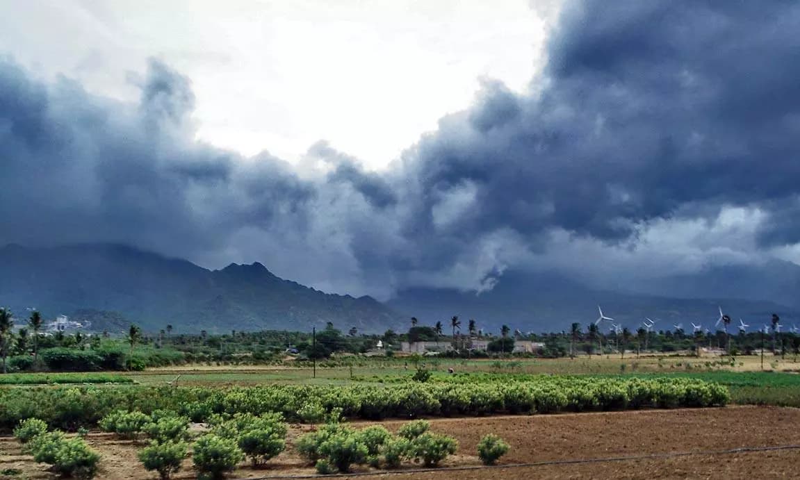
A low-pressure system and cold front are bringing widespread rain and isolated storms across Australia this week. Significant precipitation is expected in the southern and eastern states, marking a wet transition after a dry start to winter for many regions.

Highlights
- •A cold front and low-pressure system are causing widespread rain and storms across multiple Australian states.
- •Southern and southwestern Western Australia are bracing for gusty showers and isolated storm activity.
- •Heavy rain is expected to impact Queensland, New South Wales, the ACT, Victoria, and Tasmania.
- •Urban centers like Melbourne, Hobart, and Adelaide are facing rainy conditions, while Darwin remains sunny.
As the new week begins, residents across several regions in Australia are bracing for a significant shift in environmental conditions. With interest in weather tomorrow spiking, it is clear that many Australians are preparing for a week characterized by widespread precipitation and unstable atmospheric patterns.
National Outlook and Forecast Impacts
Meteorological data indicates that a low-pressure system combined with a cold front is set to impact the country, particularly affecting the southwest and southern regions of Western Australia. Residents in these areas should anticipate gusty showers and the possibility of isolated storms as the system moves through. Furthermore, an expansive rainband paired with an unstable airmass is expected to bring heavy rainfall and isolated storms across Queensland, New South Wales, the Australian Capital Territory, Victoria, and Tasmania.
For those checking the weather tomorrow, urban centers are showing varied conditions. While Darwin maintains mostly sunny skies with a high of 30°C, southern hubs face more challenging conditions. Adelaide, Hobart, and Melbourne are expecting rain as they navigate this active weather period. Sydney will remain mostly cloudy with a top of 21°C, while Brisbane experiences light rain with a high of 23°C. Perth is currently seeing thunderstorms that are expected to clear, with a maximum temperature of 17°C.
Preparing for a Drenched Week
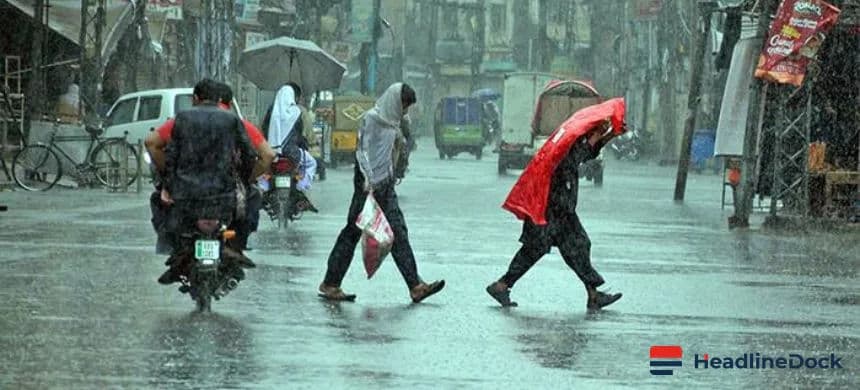
This incoming wave of wet weather follows a relatively dry start to the winter season, potentially providing much-needed moisture to various regions. However, the intensity of the rain bands and the presence of storms necessitate caution for commuters and those planning outdoor activities. Coastal areas in eastern Queensland are also under the influence of a ridge, which is driving persistent coastal showers throughout the week.
As this weather event unfolds, local authorities and meteorological services continue to monitor the situation to provide updated alerts. Residents are advised to stay informed about local conditions, as the combination of gusty winds and heavy rain could impact travel and daily routines. The shift in weather patterns serves as a reminder of the volatility of the Australian climate, especially as the nation continues to navigate seasonal transitions and broader environmental trends. Whether you are in the city or regional areas, keeping an eye on the weather tomorrow will be essential for managing the impact of these incoming storms and showers.