Ministry of Earth Sciences Celebrates 20th Foundation Day: Key Launches & Milestones

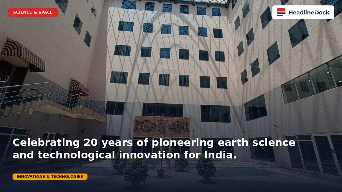
On July 27, 2026, the Ministry of Earth Sciences celebrated its 20th Foundation Day in New Delhi. The event marked two decades of atmospheric and oceanic research by launching innovative technological platforms, including the WINGS mobile app and the Sagar Prahari app, to enhance disaster management and public scientific utility.
Read it in Short
QUICK OVERVIEW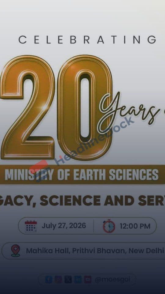
MoES celebrated 20 years of research with significant technological launches at Prithvi Bhawan.
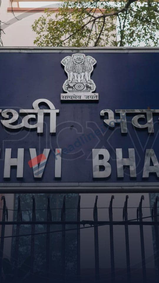
New digital tools include the WINGS mobile app and the Sagar Prahari marine conservation platform.
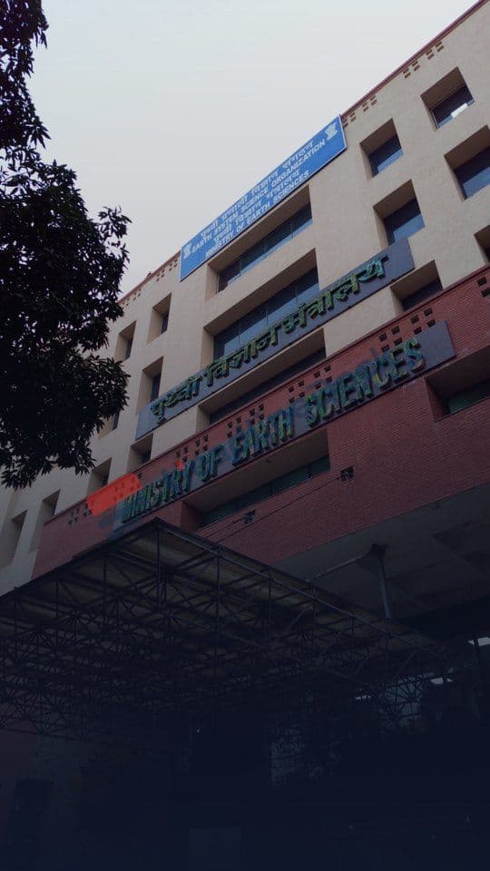
The Ministry is focusing on Mission Mausam to integrate AI/ML for advanced weather and disaster forecasting.
13 new Centers of Excellence were established by the IMD to specialize in regional meteorological research.
Ministry of Earth Sciences Celebrates 20th Foundation Day: Key Launches & Future Milestones
On July 27, 2026, the Ministry of Earth Sciences (MoES) marked a pivotal milestone at Prithvi Bhawan, New Delhi: its 20th Foundation Day. This celebration served as a definitive demonstration of how India’s scientific infrastructure has evolved from observational data collection into a comprehensive, technology-driven value chain for national service.
The event highlighted the structural synergy between the 150-year-old India Meteorological Department (IMD) and the modern, agile framework of the MoES. As Dr. N. Kalaiselvi, Secretary of the MoES, noted, the ministry represents a "youth-and-experience harmony," blending legacy expertise with cutting-edge AI and machine learning capabilities to safeguard the nation’s future.
The Evolution of a Scientific Powerhouse
The journey to the current iteration of the MoES traces back to July 1981 with the establishment of the Department of Ocean Development (DOD). Over the past twenty years, the MoES has transitioned from a niche research entity into the backbone of India’s disaster management and blue economy strategies.
The recent announcements reflect a broader strategic shift toward dynamic, actionable intelligence. Key initiatives, such as the "Mission Mausam" framework, position the ministry as a frontline service provider that converts complex atmospheric data into safety protocols for citizens, farmers, and maritime industries.
Technological Leap: What’s New?
The foundation day saw the rollout of several platforms designed to democratize scientific data and enhance predictive accuracy:
- Digital Tools: The introduction of the WINGS mobile app by the National Centre for Medium-Range Weather Forecasting (NCMRWF) provides users with unified numerical weather prediction and AI/ML analysis.
- Enhanced Surveillance: The Sagar Prahari App enables citizen-led marine conservation, allowing users to identify and geo-tag marine litter.
- Infrastructure & Research: The establishment of 13 new Centers of Excellence (CoEs) under the IMD targets specialized meteorology, including desert, mountain, and thunderstorm tracking.
- Hazard Mitigation: The release of the Strong Motion Atlas (2010–2020) provides engineering data for earthquake resilience, while SAHAV 2.0 offers a GIS-based decision support system for marine spatial planning.
Decade of Transformation: A Comparison
| Feature Area | 2016-2020 Capability | 2026 Capability |
|---|---|---|
| Weather Prediction | Conventional Numerical Models | AI/ML Integration via WINGS & Mission Mausam |
| Marine Monitoring | Periodic Surveys | Citizen Science (Sagar Prahari) & AI-enabled data |
| Disaster Hazard Data | Regional Reporting | Nationwide Strong Motion Atlas (Mag > 4.0) |
| Public Engagement | Passive Web Portals | Active, App-based Mobile Solutions |
Implementation and Usage
These platforms are public service utilities provided by the Government of India for scientific, agricultural, and disaster management utility. To ensure optimal performance, users should observe the following:
- Location Services: For the Sagar Prahari app to accurately geo-tag marine litter, ensure location permissions are enabled.
- Connectivity: The WINGS app relies on high-frequency numerical models; a stable internet connection is required for real-time AI-driven analysis.
- Data Feedback: Discrepancies on platforms like IMD NOVA should be reported through official MoES channels to assist in system validation.
- System Updates: Regularly check the official MoES website to ensure you are utilizing the latest version of SAHAV or WINGS.
The Road Ahead
Dr. Chandramouli Gaddamanugu, a defense scientist, emphasized that the ministry’s successes are built on "indigenous innovation" and the "elimination of organizational egos." This multi-disciplinary approach remains essential for tackling the complexities of the Deep Ocean Mission and extreme weather events. As the MoES enters its third decade, the focus remains on building a resilient nation through science that is actively applied to enhance societal safety and economic prosperity.
Frequently Asked Questions
What is the primary function of the Ministry of Earth Sciences?
The ministry conducts research in atmospheric, oceanic, and polar sciences to provide critical data for weather forecasting, disaster management, and the blue economy.
What is Mission Mausam?
Mission Mausam is a flagship MoES initiative acting as a comprehensive service-provider channel for advanced weather tracking, forecasting, and data delivery.
Is the new WINGS app available to the public?
The WINGS mobile app provides users with unified numerical weather prediction tools and real-time AI/ML analysis to assist in weather monitoring.
How can citizens participate in marine conservation via MoES?
Citizens can participate via the newly launched Sagar Prahari App, which allows users to geo-tag marine litter and contribute to beach cleanup efforts.
What is the purpose of the WAADRU unit?
WAADRU is a joint IMD/ICAR-NIVEDI unit focused on predicting district-level livestock disease risks driven by meteorological factors up to two months in advance.