Germany Severe Weather: DWD Issues Urgent Flood and Storm Warnings
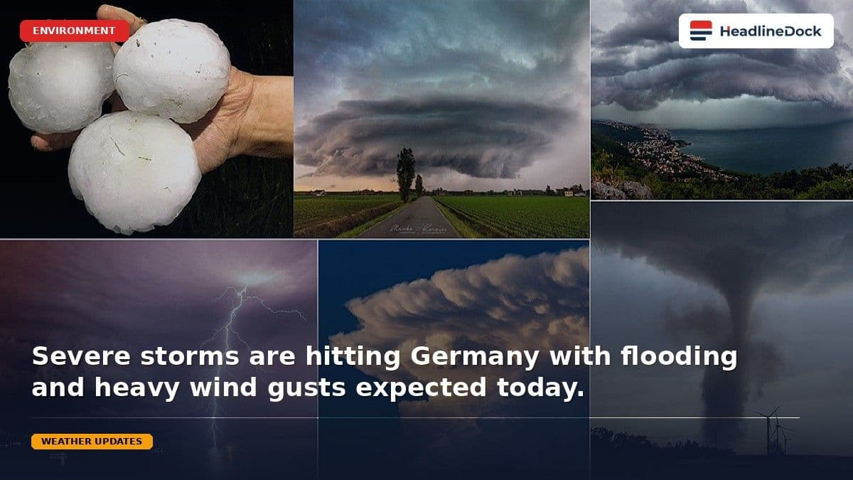
Germany is bracing for severe weather as the DWD warns of intense thunderstorms, flash floods, and damaging winds. Following a destructive supercell in the south, authorities remain on high alert as the instability moves eastward across the country. Residents are urged to monitor updates closely.
Read it in Short
QUICK OVERVIEW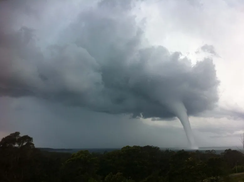
The German Weather Service warns of intense rainfall up to 60 liters per square meter.

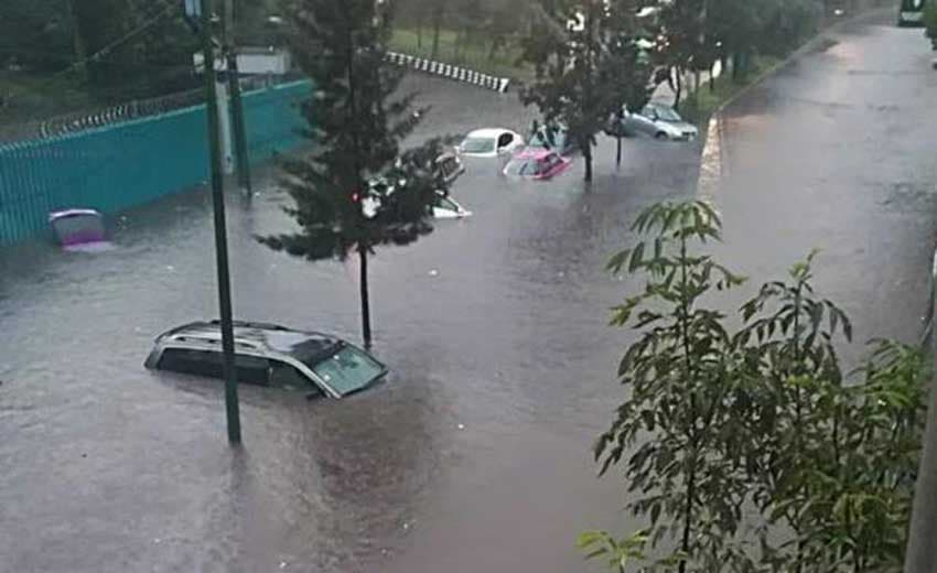
Severe storm systems pose risks of flash flooding and wind gusts up to 120 km/h.
Recent supercells have caused significant infrastructure damage and tragic fatalities in southern regions.

Unstable weather patterns are shifting eastward, impacting Berlin, Brandenburg, and surrounding areas.
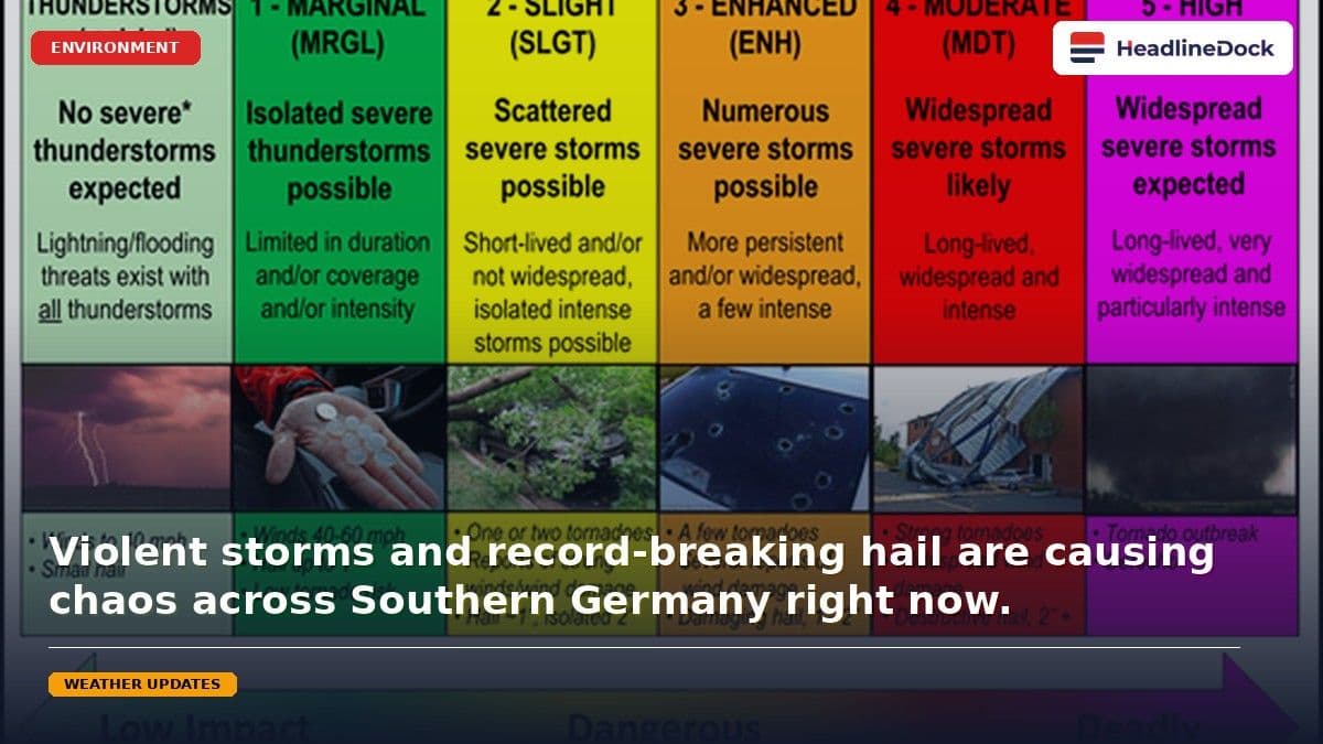
Parts of Germany are currently bracing for severe weather conditions, with meteorologists from the German Weather Service (DWD) issuing urgent warnings regarding heavy thunderstorms, intense rainfall, and damaging hail. These turbulent atmospheric conditions, which began affecting the southern and central regions, are expected to bring extreme precipitation and potentially flooding to several areas. As the country faces this unstable weather front, authorities are prioritizing safety following earlier incidents caused by a powerful supercell that swept across Baden-Württemberg.
What to Expect from Germany's Severe Weather Warnings
The DWD has indicated that as a high-pressure system transitions into an unstable phase, citizens should prepare for rapid meteorological shifts. In the worst-case scenarios, regions may experience up to 60 liters of rain per square meter in a very short duration, significantly increasing the risk of flash flooding and water-logged basements. Beyond heavy downpours, the southern districts face an elevated threat from large hailstones and fierce storm gusts, with wind speeds potentially reaching between 90 and 120 kilometers per hour. These localized but intense storms often manifest in a linear fashion, moving across the landscape like a chain of events.
Recent days have already demonstrated the volatility of this weather pattern. A notable supercell moving from Echterdingen toward Ulm resulted in significant structural damage, including downed trees and fallen masonry. Tragically, in Karlsruhe, a cyclist lost their life after being struck by a falling tree, while others sustained injuries from flying debris. As the current unstable system moves eastward toward Berlin and Brandenburg, regional emergency services remain on high alert to handle potential weather-related incidents.
Frequently Asked Questions
How should residents prepare for the current storm warnings?
Residents are advised to monitor official DWD updates regularly. Secure loose outdoor objects, stay informed about local flash flood risks, and avoid seeking shelter under trees or near power lines during the height of the storm.
Why are these summer storms so intense?
The intensity is largely due to intense convection, often compared to a boiling pot of water. Heat creates rising air currents that cool rapidly in the upper atmosphere, causing sudden, violent downdrafts and severe, localized storm cells.
Source Statement
This briefing is distilled from the original source to provide you with clear, structured insights for immediate value.
Read the full source story: Germany Faces Severe Weather Threats and Urgent Flood Warnings, Germany Faces Severe Weather Threats and Urgent Flood Warnings, Germany Faces Severe Weather Threats and Urgent Flood Warnings