Severe Storm Warning Issued as Heavy Rainfall Sweeps Across Multiple Mexican States

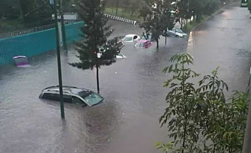
Mexico faces a severe four-day weather event characterized by heavy rainfall, potential flooding, and electrical storms. Regions from Oaxaca to the Yucatan are particularly at risk, with authorities urging citizens to maintain strict safety measures as the storm system moves across the country.
KEY TAKEAWAYS
1 MIN READ- Severe storm system to bring heavy rainfall across Mexico over the next four days.
- Oaxaca and Chiapas expect up to 120 mm of rain with high landslide risk.
- Storms include potential for hail, lightning, and wind gusts up to 60 km/h.
- Authorities advise residents to monitor river levels and prioritize safety precautions.
Authorities in Mexico have issued urgent weather warnings as a powerful tormenta—a severe storm system—is forecasted to impact multiple states over the coming four days. The meteorological situation is being driven by the interaction of atmospheric troughs, low-pressure zones, and a significant influx of tropical moisture from the Gulf of Mexico, the Caribbean Sea, and the Pacific Ocean.
Regions Facing Significant Weather Risks
Meteorological reports indicate that the most intense activity from this tormenta is expected in Oaxaca and Chiapas, where rainfall accumulations could reach up to 120 mm. This excessive precipitation poses a high risk of localized flooding, overflowing rivers, and dangerous landslides. Residents in these regions are urged to double down on self-care and safety measures to mitigate risks to property and personal safety.
Other areas, including the Yucatan Peninsula, Veracruz, Tabasco, and Campeche, are bracing for heavy downpours with accumulations reaching 60 mm. The western and central Pacific regions, specifically Nayarit, Jalisco, Colima, and Michoacán, are also under watch for intense storm cells and electrical activity. The capital, Mexico City, and the surrounding State of Mexico, along with states like Zacatecas and Hidalgo, should also anticipate moderate to heavy rainfall in the coming days.
Storm Conditions and Infrastructure Impact
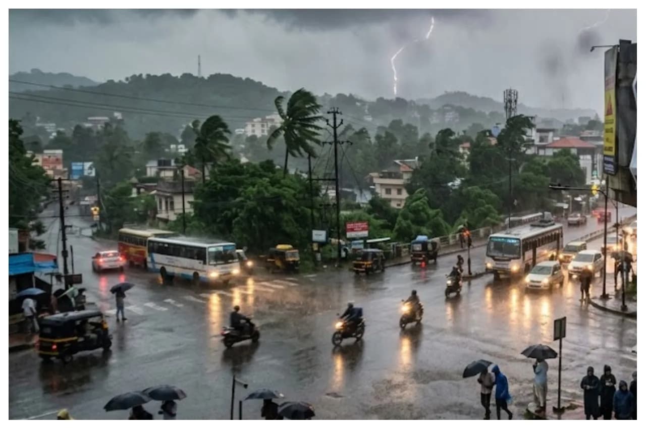
Beyond heavy rainfall, this tormenta is characterized by frequent lightning strikes and potential hail. Wind gusts are expected to range between 40 and 60 km/h across northern and central areas, presenting a risk of downed trees and damaged signage. Additionally, coastal areas along the Pacific and the Yucatan Peninsula are experiencing dangerous mar de fondo conditions, with wave heights reaching up to two meters.
While some northern regions, such as parts of Baja California and Sonora, continue to endure extreme heat with temperatures exceeding 45 °C, the majority of the country is now focused on emergency preparedness for these severe weather events. Citizens are advised to stay informed through official channels, monitor water levels in nearby streams, and remain alert to local evacuation orders if flooding becomes imminent.