Weather Update: Heavy Rain and Storm Warning for 19 States Tomorrow
The IMD has issued a major weather update warning 19 states of heavy rainfall and thunderstorms. Residents should prepare for wind gusts reaching 70 kmph on June 24 as authorities monitor the situation for potential hazards and public safety risks across affected regions.
Highlights
- •IMD issues alert for 19 states due to severe weather conditions.
- •Heavy rainfall and thunderstorms are expected on June 24.
- •Storm winds could reach speeds of up to 70 kmph.
- •Authorities advise residents to stay alert and avoid unnecessary travel.
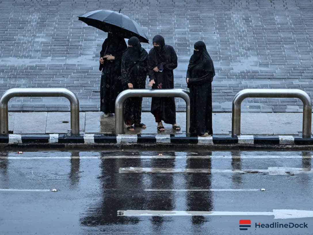
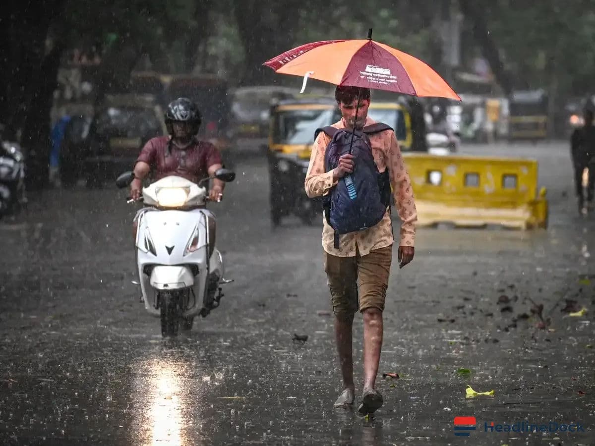
The India Meteorological Department (IMD) has released a comprehensive weather update regarding severe atmospheric conditions expected to impact the nation. A significant alert has been issued for 19 states, warning citizens of heavy rainfall and intense thunderstorms forecast for tomorrow, June 24. This meteorological event is expected to bring substantial changes to local weather patterns across the affected regions.
According to the latest advisory, residents in these 19 states should prepare for potentially disruptive conditions. The IMD has specifically highlighted the threat of powerful wind gusts, which are expected to reach speeds of up to 70 kilometers per hour. These high-velocity winds, combined with heavy precipitation, pose a risk of localized flooding, damage to infrastructure, and potential power outages in vulnerable areas.
Preparedness for Heavy Rain and Storm Winds
The anticipated weather update serves as a critical notice for both the general public and local authorities to exercise caution. Strong storm winds reaching 70 kmph can easily uproot trees, damage temporary structures, and create hazardous driving conditions. It is strongly advised that individuals stay informed through official government channels and avoid unnecessary travel during the peak of the storm activity.
Meteorological experts are closely monitoring the system to provide timely updates as the situation evolves. The combination of intense rainfall and fierce gale-force winds is characteristic of the ongoing seasonal transitions often experienced during this period. Communities located in low-lying areas or regions prone to waterlogging should take necessary precautions to safeguard property and ensure personal safety during this period of high-impact weather.
While the IMD provides the foundational data for these alerts, it remains the responsibility of local administrative bodies to implement safety measures. Citizens are urged to keep a close eye on local forecasts and follow any advisories issued by district authorities to mitigate the potential impact of these severe weather conditions. As the situation remains fluid, maintaining awareness is essential for effective disaster management and personal safety in the face of these forecasted climatic challenges.
The expected heavy rain is likely to bring a temporary reprieve from heat in some regions, but the accompanying gale-force winds necessitate high levels of vigilance. Staying indoors during the height of the thunderstorm is highly recommended to avoid any risks associated with falling debris or severe wind gusts.
,curated_key_highlights:[