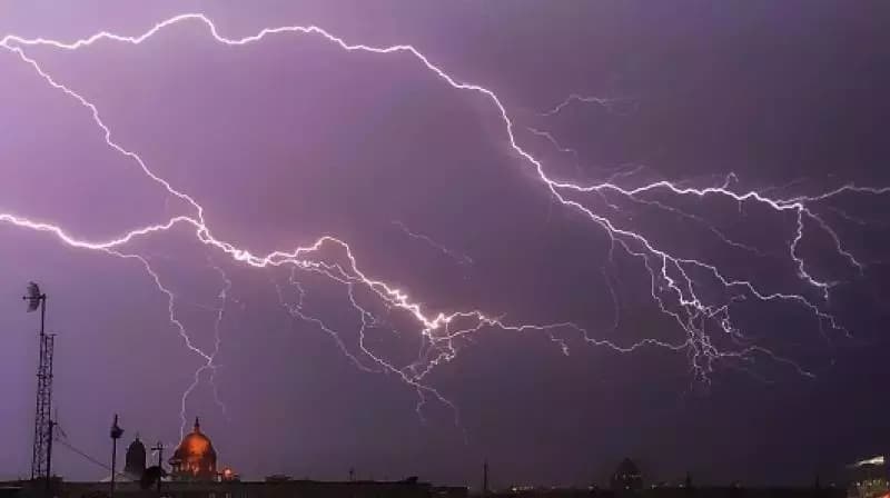
Weak Southwest Monsoon Triggers Rainfall Deficit Across 13 Andhra Pradesh Districts
The Southwest monsoon has been weak over Andhra Pradesh, leaving 13 districts with a rainfall deficit. While some regions received excess rain, others face concerns over receding groundwater and delayed Kharif crop sowing. The IMD expects improved rainfall patterns by late June.

Highlights
- •13 out of 28 districts in Andhra Pradesh are currently facing a significant rainfall deficit.
- •The state recorded 48.87 mm of rain against a normal expectation of 57.12 mm.
- •Anantapur led the state in excess rainfall with an 80.86 percent departure from normal.
- •The IMD forecasts improved rainfall conditions for the state starting around June 22 or June 23.
The Southwest monsoon has demonstrated a sluggish start across Andhra Pradesh, causing significant concern for the agricultural sector and water resource management. Following its official arrival in the state on June 4, the seasonal rainfall has remained notably weak. Data collected between June 1 and June 16 indicates that the region has received 48.87 mm of rainfall, falling short of the expected 57.12 mm average. This represents a deficit of 14.44 percent for the state as a whole.
Impact of Deficit Rainfall on Andhra Pradesh Districts
The distribution of rainfall has been uneven across Andhra Pradesh, with 13 of the 28 districts reporting insufficient precipitation. The list of districts facing a rainfall deficit includes Srikakulam, ASR, Visakhapatnam, Anakapalli, Kakinada, East Godavari, Nellore, Kadapa, Annamaya, Chittoor, Tirupati, Markapuram, and Polavaram. These conditions have placed considerable pressure on local water security and have begun to impede the sowing process for Kharif crops.
In contrast, certain areas in Rayalaseema and coastal parts of the state have fared better. Anantapur experienced the most significant surplus, recording 82.57 mm of rainfall against a normal of 45.82 mm, marking an 80.86 percent increase. Other districts, including NTR, Guntur, Bapatla, Palnadu, Kurnool, Nandyal, and Sri Sathya Sai, also registered above-average rainfall levels during the same period.
Meteorological Outlook and Future Expectations
According to weather experts, the overall Southwest monsoon across India has been hindered by complex atmospheric and oceanographic patterns, including the influence of El Nino and disruptive upper-level wind flows. Consequently, the India Meteorological Department (IMD) has projected a below-normal season, estimating rainfall at approximately 90 percent of the long-period average.
Addressing the current situation, Dr. S. Karunasagar, a senior scientist at the IMD office in Amaravati, noted that dry conditions are expected to persist for several more days. However, there is optimism for an improvement in the weather pattern. He indicated that heavy rainfall is anticipated for Andhra Pradesh starting around June 22 or June 23 as wind patterns shift. Currently, the absence of active low-pressure systems, which typically drive monsoon progression, remains the primary cause for the delay. The scarcity of rain has already led to a decline in groundwater levels and lower reservoir storage, emphasizing the critical need for increased precipitation in the coming weeks to sustain agricultural activities.