Southwest Monsoon Covers All of Telangana as IMD Forecasts Widespread Rain
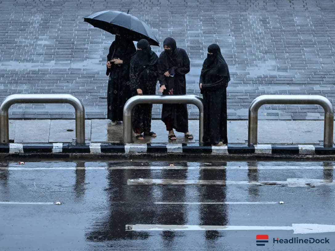
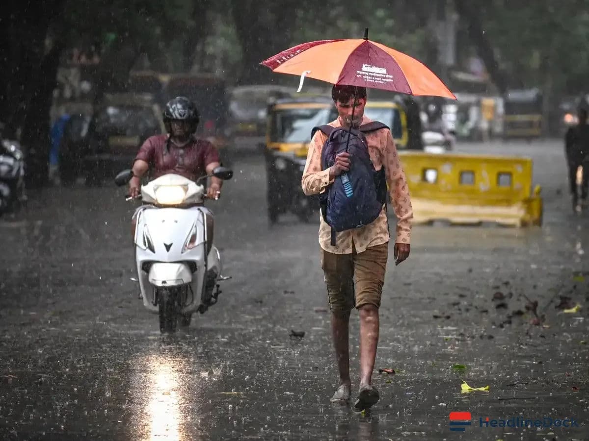
The Southwest Monsoon has officially spread across Telangana, with the IMD predicting widespread rain and cooler temperatures. While some districts report a rainfall surplus, others remain deficient. Hyderabad anticipates continued cloudy skies and intermittent showers as the monsoon season progresses.

Highlights
- •The Southwest Monsoon has now encompassed all of Telangana, bringing widespread rain and expected temperature drops.
- •IMD has issued a yellow warning for heavy rainfall and thunderstorms with gusty winds for several districts until June 29.
- •Rangareddy district shows a 64 per cent rainfall surplus, while some other districts remain in the large deficient category.
- •Hyderabad has recorded 101.3 mm of rainfall this month, which is 21 per cent above normal levels.
The Southwest Monsoon has officially advanced across the entire state of Telangana, bringing much-needed relief to a region that witnessed a delayed and uneven onset. According to the India Meteorological Department (IMD), the state can expect widespread rainfall and thunderstorms, which are likely to facilitate a noticeable reduction in ambient temperatures in the coming days.
Rainfall Forecast and Weather Outlook
Recent atmospheric data confirms that several districts have already received significant precipitation over the last 24 hours. Particularly, Peddapalli experienced very heavy to heavy rainfall, while other areas including Mulugu, Jayashankar Bhupalpally, Rangareddy, Jagtial, Mancherial, Kamareddy, and Kumuram Bheem reported substantial downpours. Despite the widespread rain, isolated pockets in Adilabad and Peddapalli continued to record lingering heatwave conditions.
The IMD has issued a weather outlook indicating that light to moderate rain or thundershowers are expected to prevail across Telangana at least through June 30. Residents can anticipate a gradual decline in maximum temperatures by up to 5°C over the next four days. Authorities have placed several districts under a yellow warning for heavy rainfall effective from June 23 to June 29. Furthermore, the region remains at risk of thunderstorms associated with lightning and gusty winds reaching speeds of 30-50 kmph.
Statewide Precipitation Analysis
Insights from the Telangana Planning Development Society highlight a varied rainfall distribution across the state. Rangareddy district has notably recorded a 64-per cent surplus in rainfall. In contrast, regions such as Warangal, Siddipet, and Hanumakonda have been classified within the large deficient category, highlighting the uneven nature of the current monsoon season.
For the state capital, Hyderabad, the current weather report forecasts generally cloudy skies. Residents should prepare for light to moderate rain or thundershowers, which are particularly likely during the evening and night hours over the next two days. Despite the increased cloud cover and precipitation, maximum temperatures in Hyderabad are projected to hover between 33°C and 34°C.
The Southwest Monsoon is expected to remain active throughout the week, offering a significant shift in weather patterns. Data from the Telangana Planning Development Society confirms that Hyderabad has already accumulated 101.3 mm of rainfall this month, marking a 21 per cent increase above normal levels for this period. As the state moves further into the monsoon cycle, monitoring weather advisories remains essential for residents navigating the changing climatic conditions and the anticipated relief from previous high-temperature trends.